")
")
")
")
                     |
| Click to enlarge |
In 2019 I returned to the Celano - Foggia tratturo, retracing it from the beginning in search of better alternatives. The tracks proposed in the gallery are almost all obtained from this new "transhumance." Listed below are the main differences with respect to the 2013 journey:
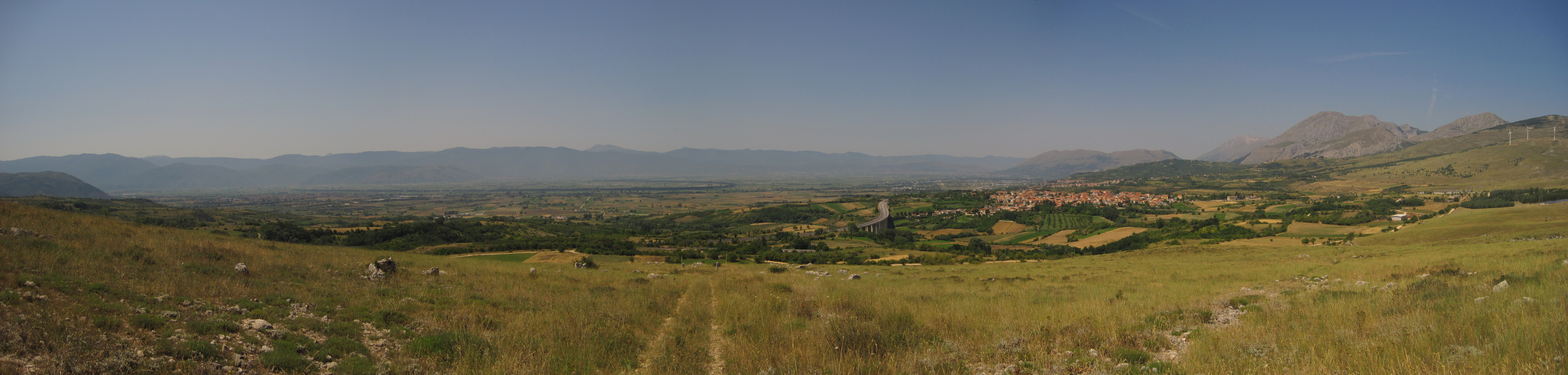
- Celano - Goriano sicoli
The main differences are basically two: 1) the route starts from the actual beginning of the tratturo; 2) after the Forca Caruso pass, the descent continues along a methane pipeline track, thus skipping several hairpin bends. The descent along the methane pipeline may be hindered by vegetation depending on the season, but I personally have had no problems. Various water supply options are found along the route and a bar is located near to one of the old trattural taverns.
- Goriano Sicoli - Sulmona
At the Monte Urano pass, it is possible to descend via trail, thus skipping a few hairpin bends. In some places the trail is particularly slippery, especially the segment just after the crossing of SP9. Be very careful.
- Sulmona - Roccaraso.
The route does not coincide with the one described in the diary. They are both usable and, therefore, you will find them both in the track gallery. However, if I may express a preference, I would say that the 2019 route is more fascinating than the 2013 one in several aspects. In practice, in 2019 I preferred to keep more faithful to the original route of the tratturo by arriving at the Cinque Miglia plain through the villages of Pettorano sul Gizio and Rocca Pia. In the Peligna Valley (immediately after Sulmona) there is no trace of the tratturo anymore, so I choosen a route that was as far as possible on dirt roads. On the other hand, in the plain of the Cinque Miglia, the tratturo is very well visible but, unfortunately, is "covered" by the SS17: the GPS track exploits the cart tracks in the vicinity of the tratturo and offers some beautiful scenery. Various water supply possibilities.
- Roccaraso - San Pietro Avellana.
Once again, the track does not match the one acquired in 2013. I tried to be more faithful to the original route of the tratturo, after pinpointing its exact location with the help of satellite maps. Once on site, I unfortunately had to realize that the bush closed the tratturo track, so I had to look for a feasible alternative passing by the side of the tratturo. It is possible to supply water only near Pietransieri (leaving the trail for a moment) and at Roccacinquemiglia, so watch out for supplies. Coming near SS652 it is possible to continue along the abandoned railroad tracks or, better, to follow the dirty road and the paths that run alongside it (more convenient).
- San Pietro Avellana - Pietrabbondante.
In 2019, unlike what was described in the 2013 diary, I found the tratturo not traversable because of vegetation. In fact, the route passes through a beautiful forest, immediately next to a nature reserve. Some local people let me know that the forest rangers do not clean it every year and that it tends to close quickly. I was therefore forced to take the route reported in the new GPS track: many more kilometers but, above all, a lot of asphalt. Fortunately there are several water supply points and a bar along the road. Some girls who did the route in 2020 found the tratturo passable again so... try to follow the 2013 trail, it is worth it, and cross your fingers. To be safe, the track gallery offers both solutions.
- Pietrabbondante - Salcito
Well, new itinerary... new diary pages...
 |
 |