")
")
")
")
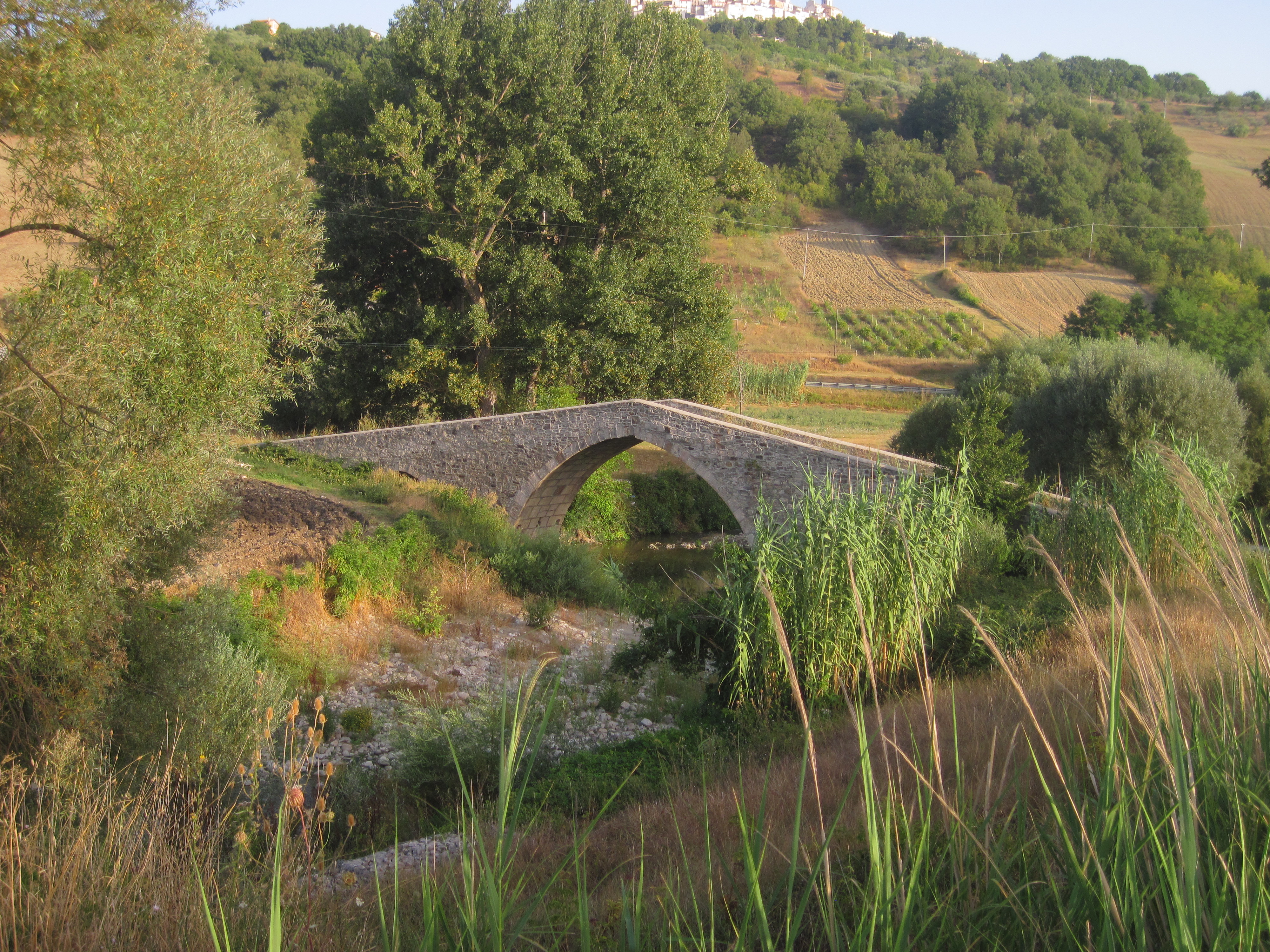
It’s been a few years since my first experience along the Celano-Foggia tratturo and there have been other long-distance walks since. In 2017 it was time for a new experience on the ancient routes of the Abruzzo transhumance. Over the years I had continued reconstructing the old shepherds’ tracks, so I had consistent data concerning the stretches of the tratturos which were still identifiable and, potentially, treadable, and others which were definitively lost. I had a limited number of days for my trip, so I decided to walk the shortest tratturo of the main five: the Castel di Sangro-Lucera. To my knowledge it was also the best preserved.
Preparing the route involved facing and solving several issues. In many points the GPS tracks I had prepared by consulting IGM and satellite maps did not coincide with a route which had recently appeared on OpenStreetMap. After an accurate check, I verified that such route is essentially an "ideal" one. In many sections it covers areas which are no longer passable (similarly to the ones I have suggested in "The original routes" in this site), while in other cases it runs far from the tratturo. More than an actual route, it seems to be a project for a future one. In any case, do not go blindly following the indications on OpenStreetMap!
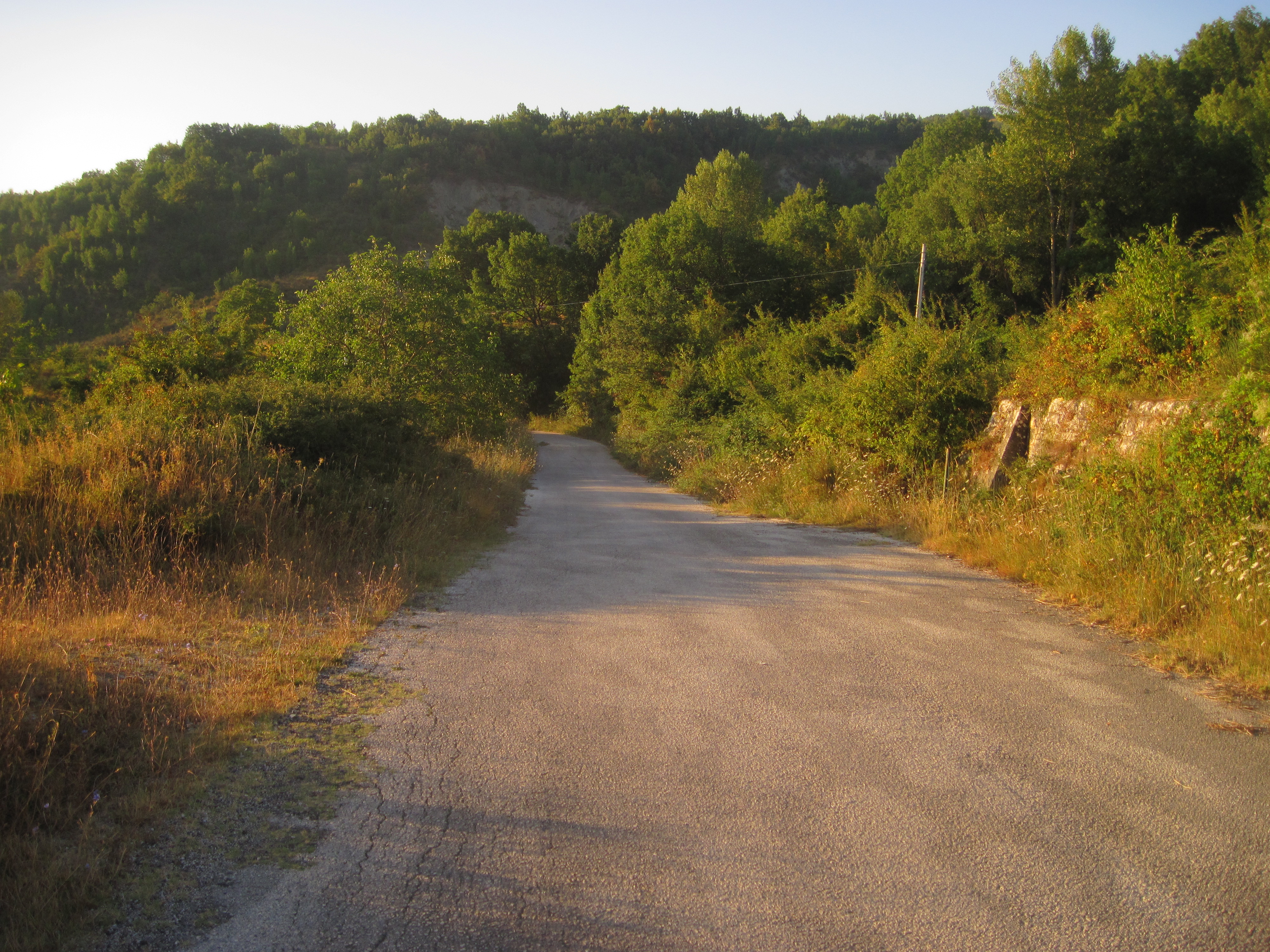
For the above mentioned reasons the route I decided to follow was essentially based on the tracks I had prepared, with minor adaptations. Small changes were required in order to reach somewhere to stay at the end of each day. Possibilities for accommodation are limited - in some locations one place only was available, so I am providing a list on a specific page too.
In the next pages I will propose three categories of GPS tracks. I decided to deviate slightly from the programme adopted for the Celano-Foggia tratturo. The itinerary I had originally prepared was substantially correct: I could not follow some of the sections just because they were blocked by vegetation. Therefore I'm publishing my original tracks in a box (one per day) entitled "The tratturo as I would like it to be". As usual, the acquired tracks are shown at the bottom of each page. These also show my attempts to stay on the planned route, including the many cases of backtracking and searching for alternative paths that I had to do to avoid obstacles. Finally, I have reported my reconstruction of the original tratturo in "The original routes".
So, how did it end this time? Definitely better, given that I completed the journey! As for temperatures, the situation I had to face was even worse than 2013: at that time peaks were close to 35°C, while in 2017 temperatures above 40°C were the norm. However, the stages of this second journey were shorter, thus leaving margin to seek for alternative routes to avoid insurmountable obstacles.
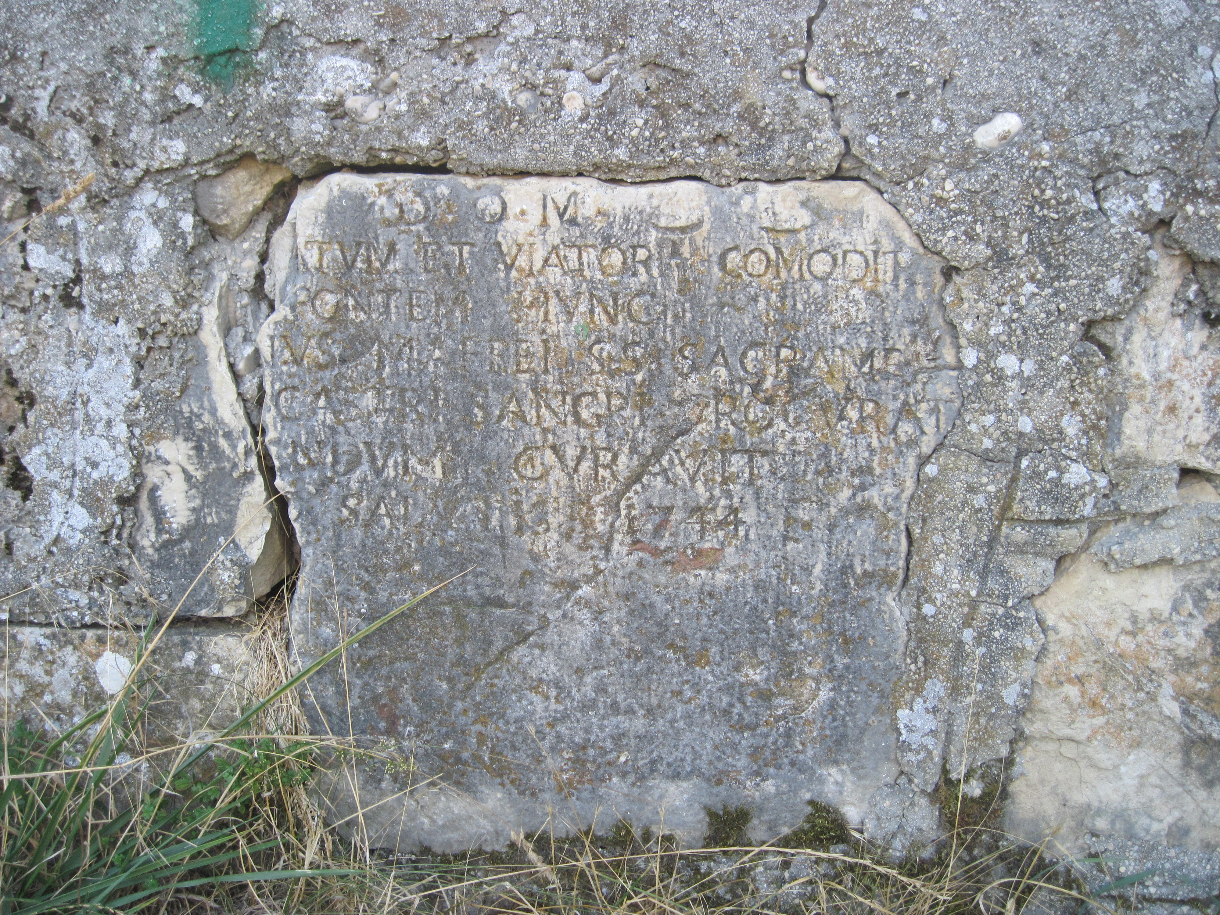
This journey was undoubtedly characterised by human warmth. As you will see, in many of the places where I lodged I received care which went far beyond what can be expected of a common farmhouse or B&B keeper.